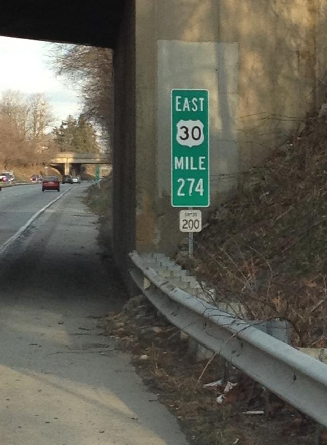
| PennDOT has recently installed mile markers on the Route 30 Bypass to help both motorists and emergency personnel. The mile markers are positioned every 1/10 mile and are located on berm of both the eastbound and westbound lanes. They are intended to help motorists identify their specific location in the event of an accident or other emergency.
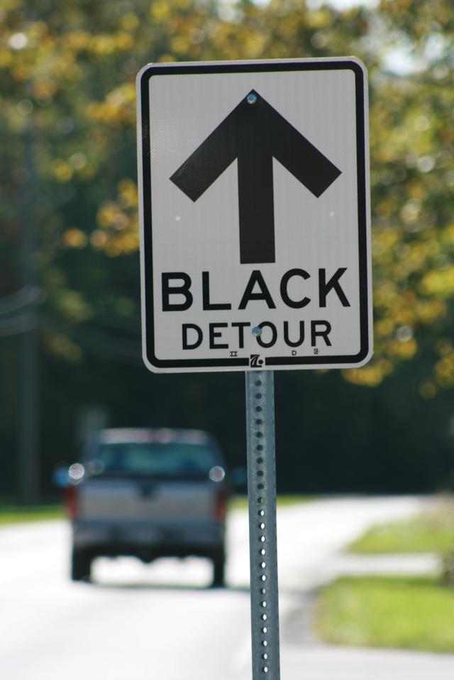
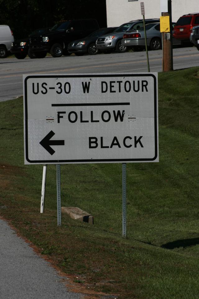
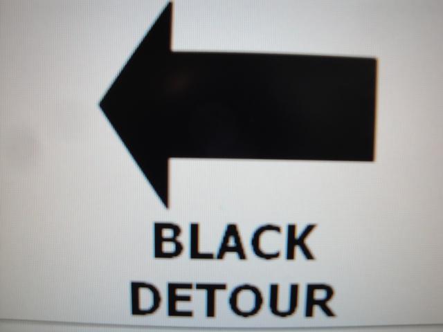
The new mile markers are in addition to the colored emergency detour arrows and detour signage that PennDOT placed on the bypass in the last couple years to assist motorists during highway closures. You may have noticed small, colored detour signs such as "Green Detour" or "Black Detour". These signs have been installed by PennDOT in the event of an emergency highway closure to help police and emergency crews direct traffic from one interchange to the next adjacent interchange.
North-south highways in Chester County (US 1; PA 100 in West Whiteland, West Goshen, and North Coventry; US 202) use red for southbound detours and blue northbound detours. East-west highways (US 30, US 422) are signed with green for eastbound detours and black for westbound detours. The color orange is occasionally used alternatively where detours from two expressways may overlap.
In the event of such an emergency that requires closure of the highway, PennDOT's message boards, media reports, and/or emergency personnel will direct motorists to use the appropriate emergency detour route.
Maps of the detour routes for all expressways are available in PDF format through the Delaware Valley Regional Planning Commission's Interactive Detour Route Mapping application, known as iDRuM. These maps can be accessed at www.idrum.us. |